|
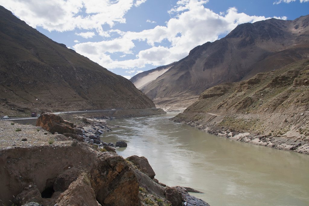 |
| Yarlung Tsangpo river, here small and deep | |
| Latitude: N 29°18'32,96" | Longitude: E 89°48'56,31" | Altitude: 3777 metres | Location: Zonggar | State/Province: Tibet Autonomous Region | Country: China | Copyright: Ron Harkink | See map | |
| Total images: 23 | Help | |